Yarrow Point has one way in and one way out. That single fact, more than any other, shapes how August feels on the peninsula. When a town sits on 231 acres of shoreline with a single entry, its public spaces stop functioning as separate destinations. They start functioning as stops on a chain you can walk in an afternoon.
Most guides to summer on the Eastside treat parks and trails as a checklist. That framing does not fit here. Yarrow Point has no commercial zoning and relies on Kirkland and Bellevue for services, which means there is no coffee shop to anchor the morning and no restaurant to anchor the evening. What the town does have, according to its own municipal description, is a peninsula of about 405 homes wrapped in shoreline access, one nature preserve, one beach, one landing, one alley, one park, and one trail that leaves and comes back. In August, the trick is knowing the order.
The Chain, Not the List
A resident with an unhurried Saturday can reasonably move through the following in a single loop, starting and ending at Town Hall on 92nd Ave NE:
- Morningside Park, behind Town Hall, for a first stretch on the playground lawn or a game on the sport court where the Points 4th of July Pickleball tournament runs each summer.
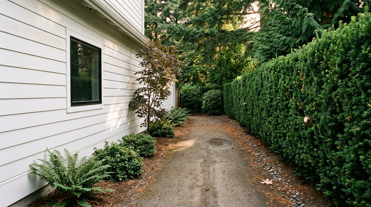
- Sally's Alley, the unpaved public walking and biking path between 94th and 95th that was platted to be a street, never paved, and named for a goat who grazed there.
- Road End Beach at the end of NE 47th Street, a maintained beach with a dock for spring and summer swimming.
- Istvan's Landing, a public water access point for kayaks and paddleboards that also functions as the town's off-leash dog area.
- Wetherill Nature Preserve, tucked between Yarrow Point and Hunts Point, accessed from the Points Loop Trail via the SR 520 corridor.
- The Points Loop Trail back into town, if legs allow.
Six stops, all inside a peninsula the town measures at 4.32 miles of streets. A resident who walks it end to end covers a fraction of that and still sees every public asset the town owns.
The point of laying it out this way is not that residents do not know these places exist. Every household on the peninsula has walked past most of them a hundred times. The point is that a Saturday spent moving through them in order behaves differently from a Saturday spent driving off-peninsula for lunch and coming back. When the town has one road in, the itinerary that ignores the exit becomes the one worth planning.
What Sally's Alley and Istvan's Landing Actually Are
Two of those stops deserve a longer look, because they are the ones that most often get skipped by residents who default to Road End Beach.
Sally's Alley is a piece of civic history hiding in plain sight. The town's own public spaces page describes it as a right-of-way that was platted to be a street, was never paved, and now serves as a public walking and biking path between 94th and 95th. It is named for Sally, a goat. That is the kind of detail that only lands if you know the peninsula was homesteaded in the late 1880s and incorporated in 1959 specifically to hold the line against the growth reshaping the rest of Puget Sound. Sally's Alley is what preservation looks like at the scale of a single block.
Istvan's Landing does similar work at the shoreline. It functions as a public launch site for kayaks and paddleboards and doubles as the alternative to Road End Beach for residents with dogs off leash. In a town where roughly one in four homes has waterfront or direct water access and the other three-quarters do not, a public launch is not decoration. It is the mechanism that keeps the lake usable for everyone on the peninsula.
The 5.4 Miles Around You
The Points Loop Trail is the piece that connects Yarrow Point to the rest of the Points communities. The Washington Trails Association lists it as a 5.4-mile urban trail connecting Clyde Hill, Medina, Yarrow Point, and Hunts Point. The main Wetherill Nature Preserve entrance sits about halfway between Hunts Point and Yarrow Point along the loop, and the town of Hunts Point notes the trail section runs parallel to SR 520 with pedestrian-only access into the preserve itself.
Two things make the loop worth revisiting in August specifically. The first is that Wetherill is open all year during daylight hours and has trails that wander through wetlands out to the shore of Lake Washington. In the driest weeks of summer, when the rest of the Eastside canopy has gone crisp, the Wetherill wetlands stay green. The second is that the loop is one of the few places on the Eastside where a resident can walk a substantial distance on a marked route without ever getting more than a short jog from home. The preserve itself covers 16 acres bequeathed in 1989 by Marjorie Baird and her sister Sidonia Foley, land originally purchased by their grandfather, Seattle financier Jacob Furth, and protected in perpetuity. It has been a working piece of the peninsula's walking infrastructure for more than 35 years, and it is still the least-crowded stretch of the loop in August.
The One Date Left on the Calendar
For anyone reading this in early August, the Fourth of July programming is behind us. The Points Fourth of July Celebration each summer runs a parade, pickleball tournament, fishing derby, family bingo, firecracker family dash, picnics, pet parade, street dance, and fireworks. That is a week of programming compressed into a few days, and it accounts for most of the town's summer social density.
What remains on the town calendar for late summer is quieter and singular. The Town of Yarrow Point has posted a save-the-date for Yarrow Point Movie Night, Saturday, September 5, from 7 to 9 PM at Town Hall. One evening, one location, one screen. In a year that has otherwise been shaped around the Fourth, it is the closing note. It also happens to fall on the weekend that most residents mark as the practical end of summer, before schedules shift.
A note on park hours worth keeping in mind for evening walks: the town's public spaces page lists Morningside Park and Road End Beach as closed from 10:30 PM until 5:30 AM. A Saturday chain that starts late afternoon and ends at Movie Night lands comfortably inside those windows. A summer evening that drifts past 10:30 does not.
Why the Chain Works Here and Not Elsewhere
The reason all of this reads as one continuous experience rather than a scattered list has to do with the geometry of the town. Yarrow Point is bordered on three sides by Lake Washington. It has 4.32 miles of streets total, all of them feeding a single entry and exit. Its 405 homes house an estimated 1,135 residents, a density low enough that the walking routes stay quiet and high enough that neighbors overlap at the same handful of public spaces week after week.
That geometry is also why the roster of assets is short. Wetherill, the Points Loop, Road End, Morningside, Istvan's Landing, and Sally's Alley are essentially the full public inventory. On a larger Eastside city map they would be sparse. On a 231-acre peninsula they are dense. August is the month that difference becomes obvious, because it is the month when a resident has the daylight and the weather to actually string them together.
The current-resident version of the summer question is not where to go. It is which order to take them in.
Whittlesey Properties has spent more than four decades tracking the small changes and long constants of the Points communities. If you want a broader conversation about Yarrow Point, whether you are staying, planning a lifecycle move, or thinking about what stewardship of a peninsula home looks like a decade out, Whittlesey Properties is here when you are ready.